Most Mediterranean sailors do not think much about tides. The Mediterranean tidal range is small, typically less than half a metre at most ports, and the tidal currents in the open sea are too weak to significantly affect passage planning in most conditions. This is correct and it produces a habit of mind in Mediterranean-trained sailors that serves them well in the Mediterranean and fails them significantly when the route takes them into waters where tides and tidal currents are a primary planning consideration rather than a background factor.
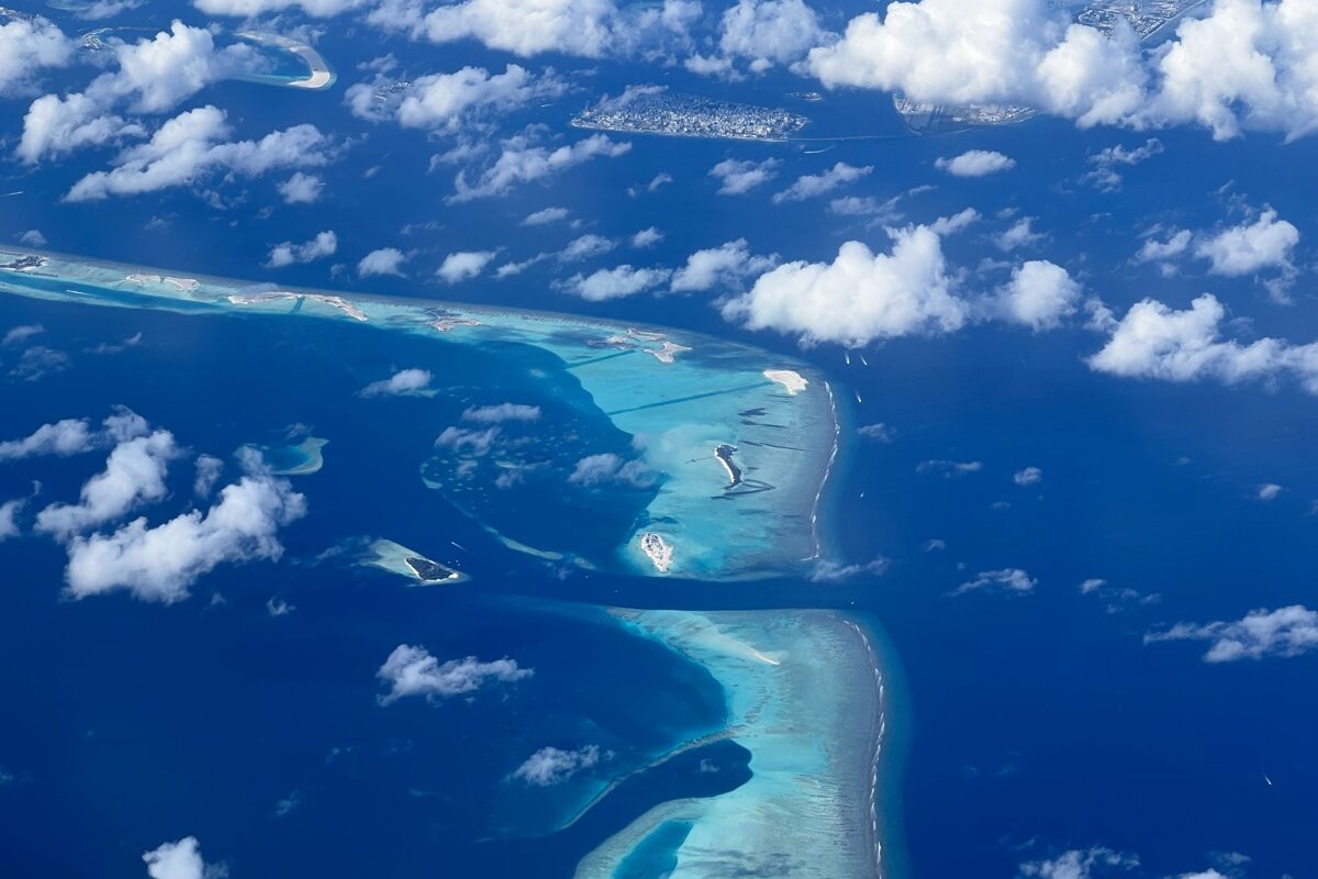
The Naora route passes through several areas where tide awareness is not optional: the Atlantic approaches, the Caribbean passages between islands, the Indonesian archipelago with its complex inter-island currents, the Maldivian atolls where tidal flow through the channels determines when passage is possible and when it is not, and the Red Sea where the tidal pattern interacts with the prevailing wind to produce conditions that change fundamentally between the flood and the ebb.
Tidal Range and Tidal Current
The tidal range is the vertical difference between high water and low water at a specific location. The tidal current is the horizontal movement of water produced by the tidal cycle. These two phenomena are related but not identical: a location with a moderate tidal range can produce significant currents if the tidal flow is channelled through a narrow passage, and a location with a large tidal range can produce modest currents if the water has a large area to fill and empty across.
For the passage-making sailor, the tidal current is usually more significant than the tidal range, because the current affects progress and safety continuously throughout the passage rather than only at entry and departure. A two-knot tidal current against a boat making seven knots through the water reduces the speed over ground to five knots and adds nearly fifty percent to the passage time. The same two knots in favour reduces the passage time by nearly thirty percent. Over a twenty-four hour passage, the difference between planning with and without tidal current can be measured in hours rather than minutes.
The Indonesian Passages
The Indonesian archipelago is one of the most tidally complex regions on the Naora route. The Pacific and Indian Oceans connect through the Indonesian passages, and the tidal flows through the thousands of channels and straits between the islands produce currents that can reach six to eight knots in the narrowest passages at peak flow. This is not a marginal consideration. A six-knot opposing current against a catamaran making seven knots through the water reduces the speed over ground to one knot and makes forward progress effectively impossible.
Transiting the Indonesian passages requires specific tidal planning: identifying the slack water windows, which in some channels exist for only thirty to sixty minutes around the turn of the tide, and timing arrivals to use those windows rather than fighting the full current in either direction. This planning requires tidal tables specific to each passage, local knowledge about the actual timing of the current turn (which often differs from the tidal table prediction due to the complexity of the local hydrography), and the flexibility to wait at anchor until the window opens if the timing does not work as planned.
I have transited Indonesian passages with and without adequate tidal planning and the difference is categorical. With the planning: a boat moving smoothly through a channel that is presenting no particular challenge, arriving on schedule, the crew comfortable and the captain un-anxious. Without the planning or with inaccurate planning: a boat working hard against a current that makes every mile expensive in fuel and time, the channel seeming longer than the chart suggests, and the specific discomfort of a situation that could have been avoided by an extra hour of preparation at the chart table.
Atoll Entry
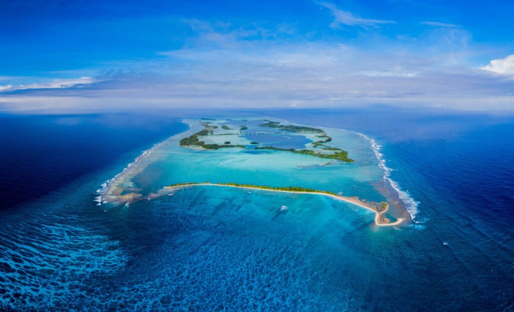
The atoll passes of the Tuamotu and the Maldives require tidal planning for a different reason: not current strength but current direction. The passes through atoll reefs are typically narrow and subject to strong inflows on the flood tide and strong outflows on the ebb, and the combination of strong current and the coral reef edges of the pass requires entry at or near slack water both for safety and for visibility. The outgoing tide produces standing waves and confused water at the pass entrance that can be dangerous in a small vessel. The incoming tide produces cleaner conditions but pushes the boat faster than intended through the pass and requires precise throttle management to maintain controlled entry speed.
The specific planning required for an atoll pass entry is: identify the times of high and low water at the atoll using the nearest reference port and the correction factor for the specific atoll, calculate the time of slack water (approximately midway between high and low), and plan arrival at the pass entrance for the slack window. The window is typically thirty to sixty minutes in width. The cost of missing it is anchoring outside the pass and waiting for the next slack, which may be twelve hours away.