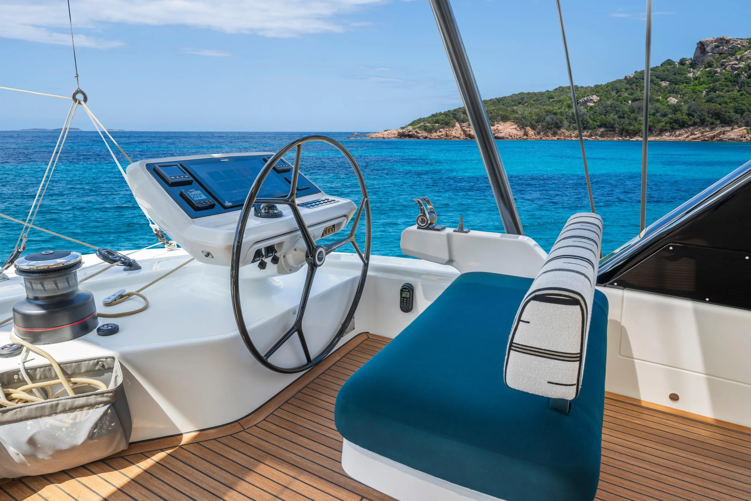
The navigation station of the Eighty2 on a passage has several screens and displays showing different numbers simultaneously. Members who are not sailors often find themselves drawn to these displays, staring at the changing numbers with the specific curiosity of someone who knows there is information here and wants to understand what it is saying. I enjoy being asked about them. This article is the answer I give when someone asks me to explain the whole panel at once.
These are the numbers that tell you where the boat is, how it is moving, and how efficiently it is using the wind that is available. They are not complicated once you understand what each one is measuring. And once you understand them, you cannot look at the panel without reading it, which is a specific and pleasant form of engagement with the passage.
Position: Where the Boat Is
LAT/LON is latitude and longitude: the coordinates that place the boat on the surface of the earth. Latitude is the distance north or south of the equator, expressed in degrees and minutes. Longitude is the distance east or west of the Greenwich meridian. Together, they give a unique address for any point on the planet. The GPS calculates these continuously from satellite signals, accurate to within a few metres.
COG is Course Over Ground: the direction the boat is actually moving, measured in degrees from north, as observed from the GPS tracking of where the boat has been in the last few seconds. This is different from the compass heading because the boat is also being pushed sideways by current and leeway, and COG accounts for all of these. If the compass says we are steering 245 degrees but the current is pushing us north, the COG might read 250 or 255. COG is where we are actually going. The compass heading is where the bow is pointed.
SOG is Speed Over Ground: how fast the boat is actually moving across the surface of the earth, in knots, again as measured by GPS tracking. This is different from the boat speed shown by the log, which measures how fast the boat is moving through the water. If we are sailing at 7 knots through the water but sailing against a 2-knot contrary current, the SOG will show 5 knots. If the current is with us, the SOG will show 9. SOG is the number that determines how long the passage will take. Boat speed is the number that tells you how well the sails are set.
Wind: The Engine
TWS is True Wind Speed: the actual speed of the wind as it would be measured by a fixed instrument on the shore. This is what the weather forecast gives you. On the boat, the wind instruments at the masthead measure what is called apparent wind, which is the combination of the true wind and the wind created by the boat’s own movement. A boat sailing at 7 knots directly into a 15-knot headwind will feel 22 knots of apparent wind. The instruments calculate back to the true wind from the apparent wind and the boat speed. TWS is what the wind actually is. Apparent wind speed is what the boat feels.
TWA is True Wind Angle: the angle between the wind direction and the boat’s heading. Zero degrees means the wind is directly ahead. 180 degrees means it is directly behind. 90 degrees means it is coming from the side. A close-hauled sailing angle is typically between 40 and 50 degrees. A beam reach is around 90 degrees. A broad reach or a run is 120 to 180 degrees. Different boats sail fastest at different angles, and the polar diagram of the Eighty2 tells me what speed we should be achieving at any combination of wind speed and wind angle. When the actual speed matches the polar speed, the sails are optimally trimmed. When it does not, something can be improved.
VMG is Velocity Made Good toward the waypoint: perhaps the most practically useful number on the panel for passage making. It is not the boat speed. It is the component of the boat speed that is directed toward the destination. A boat sailing fast at a wide angle to the destination has a lower VMG than a slower boat sailing directly toward it. Maximising VMG is the art of offshore sailing in one number: finding the combination of heading and sail trim that produces the fastest progress toward where you are going, not just the fastest speed through the water.
Depth and Distance
DPT is depth: how much water is under the keel, measured by the depth sounder sending an acoustic pulse to the bottom and timing its return. On the ocean passage, this number is typically so large it becomes meaningless: 3,000 or 4,000 metres in the deep Pacific. In an atoll approach, it is the most important number on the panel: the difference between 8 metres and 3 metres is the difference between comfortable anchorage and running aground, and the depth sounder is the instrument that bridges the satellite imagery and the visual bow lookout.
DTW is Distance to Waypoint and TTG is Time to Go: how far to the next waypoint in nautical miles and how long at the current SOG until we reach it. These are the numbers most members watch most often, not because the destination is the point but because the human brain is drawn to countdowns, and there is something satisfying about watching DTW decrease steadily as the watch proceeds and the miles accumulate.
Once you know these numbers, the instrument panel stops being a display and becomes a conversation: the boat telling you, continuously, where it is, how it is moving, and how well it is using what the wind is offering. The watch crew who reads this conversation fluently is doing something qualitatively different to the watch crew who monitors it for alarms. They are sailing the boat rather than tending it. The numbers make the difference.
| Abbreviation | Full name | What it tells you |
|---|---|---|
| LAT/LON | Latitude/Longitude | Where the boat is on the earth’s surface |
| COG | Course Over Ground | The direction the boat is actually moving, accounting for current and leeway |
| SOG | Speed Over Ground | How fast the boat is actually moving across the earth, accounting for current |
| TWS | True Wind Speed | The actual wind speed, as distinct from the apparent wind felt on the moving boat |
| TWA | True Wind Angle | The angle between the wind direction and the boat’s heading |
| VMG | Velocity Made Good | The component of boat speed directed toward the destination: the art of sailing in one number |
| DPT | Depth | Water under the keel: irrelevant in deep ocean, critical in atoll approaches |
| DTW/TTG | Distance/Time to Waypoint | How far and how long to the next waypoint at current speed |