Most people who think about the great ocean passages think about the Atlantic and the Pacific. The Indian Ocean is, somehow, less present in the imagination of sailing. And yet it is the ocean that most consistently surprises members on the Naora circumnavigation. It is larger than most people realise. It is more varied in character than either of the other two. And the destinations it contains, the Maldives, the Seychelles, Sri Lanka, the Chagos Archipelago, the East African coast, are among the finest on the entire five-year route.
This article is about the Indian Ocean chapter of the Naora journey: where we go, when, and why the monsoon is the organising principle of everything.
The Monsoon: The Weather System That Defines the Ocean
The Indian Ocean is governed by the monsoon in a way that no other ocean is governed by a single weather system. The northeast monsoon blows from November to April, carrying relatively dry, stable air from the Asian landmass southward across the Arabian Sea and the Bay of Bengal. The southwest monsoon blows from May to October, reversing the wind completely, bringing the wet season to South Asia and making certain passages either impossible or extremely uncomfortable.
The entire Indian Ocean chapter of the Naora route is timed around the northeast monsoon. We enter the Indian Ocean from Indonesia and Southeast Asia in October and November, positioning ourselves to use the northeast monsoon for the westward passages through the Indian Ocean from December through March. This timing delivers the most favourable sailing conditions available on this ocean, and it aligns with the dry season in most of the destinations we visit.
The southwest monsoon is not a sailing window for the passages we make. Crossing the Arabian Sea against the southwest monsoon in June or July is technically possible but genuinely arduous: upwind, lumpy, and slow. We are not in that position because we timed the route correctly, which means leaving Southeast Asia before the monsoon reverses and arriving in the western Indian Ocean before it builds.
The Destinations
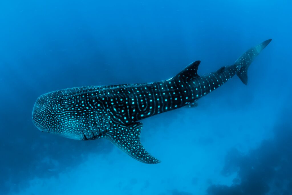
The Maldives are the first significant stop after the Strait of Malacca and the Indian Ocean entry. Twenty-six atolls, roughly 1,200 islands, most of them uninhabited, spread across an area the size of a large country. The water is the clearest in the world in certain atolls: visibility of 30 to 40 metres is normal, and the coral systems beneath it are among the healthiest remaining on earth. The diving here is world-class in a way that is not marketing language. The pelagic life, manta rays, whale sharks, hammerheads moving along the atoll outer walls, is genuinely extraordinary.
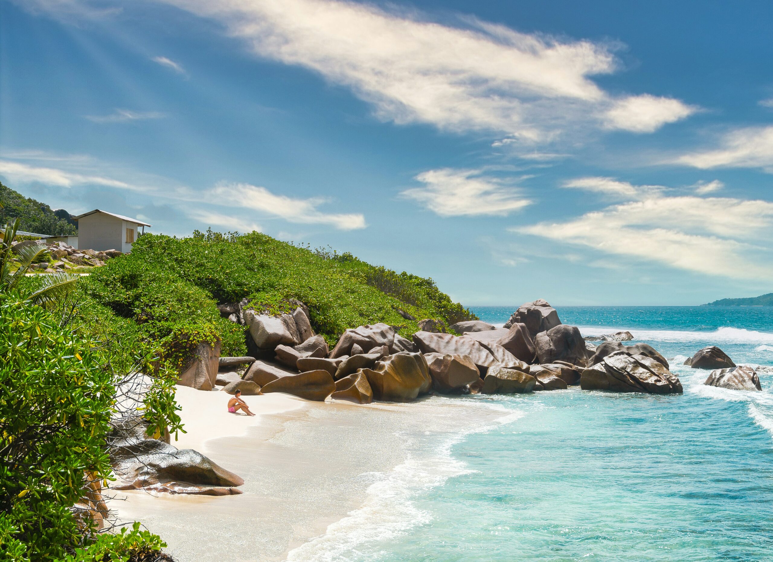
The Seychelles deliver a different quality. Granite islands rather than coral atolls, with beaches of rounded boulders and white sand that look like set dressing for something that should not actually exist. Aldabra, the most remote of the Seychelles islands and one of the largest raised coral atolls on earth, is home to the world’s largest population of giant tortoises and is accessible only to vessels that can be entirely self-sufficient: no facilities, no other boats typically, no way to get anything you did not bring. We go there specifically.
Sri Lanka and the south Indian coast introduce a different character to the Indian Ocean passage: ancient ports, extraordinary food, a maritime history that stretches back to the earliest ocean trade routes. The spice trade that drove European exploration for two centuries had its origins in these waters. Standing in Galle Fort, or eating in a harbour-side restaurant in Cochin, in a building that was there when Vasco da Gama arrived, produces a specific quality of historical weight that the Pacific, young and volcanic, does not offer in the same way.
The Arabian Sea Crossing
From Sri Lanka or the south Indian coast, the route turns northwest across the Arabian Sea toward the Gulf of Aden and the approach to the Red Sea. This passage, typically made in January or February on the northeast monsoon, is one of the longest open-ocean stretches on the Indian Ocean chapter: roughly 1,500 to 2,000 nautical miles depending on the specific routing, typically ten to fourteen days at sea.
The northeast monsoon makes this passage predominantly downwind or on a comfortable reach. It is not as straightforward as the trade wind crossings of the Atlantic and Pacific, because the monsoon is less consistent in strength and direction than the trades, and the approach to the Gulf of Aden requires careful attention to piracy risk assessment and routing. We work with up-to-date maritime security information for this leg and adjust routing accordingly. The Indian Ocean is safer than it was at the peak of piracy activity in the 2010s, but it is not a coast to approach without current intelligence and a clear plan.
| Destination | When | Character |
|---|---|---|
| Maldives | November to January | Coral atolls, world-class diving, clearest water on the route |
| Seychelles including Aldabra | December to February | Granite islands, giant tortoises, completely remote outer atolls |
| Sri Lanka | December to March | Ancient ports, extraordinary food, 2,000 years of maritime history |
| South India, Kerala and Goa | December to February | Spice trade history, Galle Fort, Cochin, the original ocean trade routes |
| Arabian Sea crossing | January to February | Northeast monsoon passage, 1,500 to 2,000 miles, ten to fourteen days |