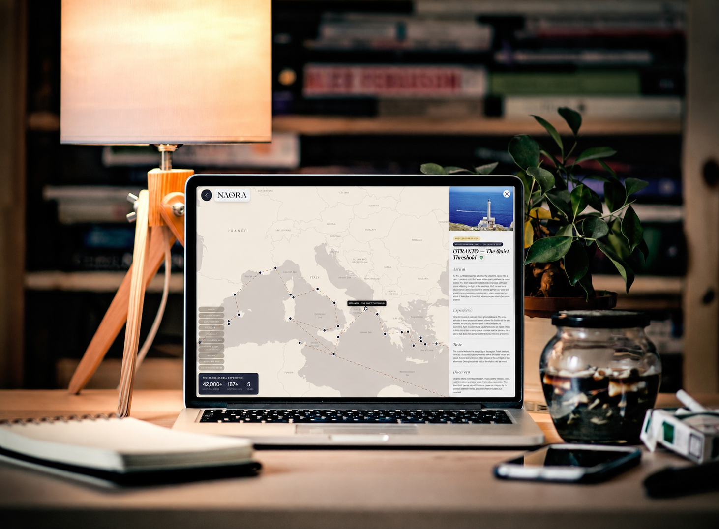
The route planning for the Naora circumnavigation took three months. Not three months of occasional thinking about it. Three months of systematic work: the weather routing analysis for each ocean chapter, the permit research for the restricted anchorages, the security assessment for the passages where the security situation required assessment, the timing optimisation that keeps the programme out of the cyclone seasons and in the trade wind windows and through the Panama Canal in the slot that avoids the wet season and into the Pacific in the timing that the Galapagos to Marquesas crossing requires for the ITCZ crossing to be manageable rather than a week of the conditions the ITCZ is named for.
Three months. The route that emerged from those three months covers 183 destinations across 45 countries and 45,000 nautical miles in the five years between the May 2027 Bodrum departure and the January 2032 Bodrum return. Every decision in the route has a reason. Here are the hardest ones and why they were made the way they were made.
The Hardest Route Decisions and Why They Were Made
| Decision | The original plan | What changed it | The solution |
|---|---|---|---|
| Red Sea direction | North to south through Egyptian waters | Piracy risk and strong northerly headwinds making the direction impractical and unsafe | South to north entry through Bab-el-Mandeb, favourable wind direction, better security corridor |
| Cape of Good Hope routing | Direct from South Africa to Maldives | The Agulhas Current timing and the cyclone season interaction required the Seychelles and Comoros chapter insertion | Mozambique Channel, Seychelles, Aldabra, then Maldives — adds the most extraordinary chapter to the route |
| Pacific departure timing | Early season from Panama | The ITCZ sits lowest in March and April — the best crossing window is November | Caribbean chapter extended, Panama in January, Pacific crossing November — the correct ITCZ window |
| Indonesian chapter timing | June through August | The Australian monsoon and the Coral Triangle diving visibility align with this window | Confirmed — June through September is the Indonesian chapter, correct for diving and passage |
| Suez Canal return | Considered Cape of Good Hope return | The northern Red Sea dive programme and the Aqaba/Petra overland required the northern Red Sea presence | Suez Canal transit northbound — the correct conclusion to the circumnavigation |
The decision to remove the Egyptian north-to-south Red Sea routing was the hardest single decision in the route planning. The original plan had the programme entering the Red Sea from the north through the Suez Canal and sailing south.
The combination of the piracy risk in the southern Red Sea approaches at the time of planning and the strong northerly headwinds that make the north-to-south Red Sea passage the most uncomfortable sustained upwind sailing on the circumnavigation route produced the decision to reverse the direction: enter south through the Bab-el-Mandeb, sail north with the wind, exit through the Suez Canal.
The decision produced the better route in every dimension, the wind direction, the security, the dive programme sequencing and it has not been reconsidered since it was made.
The full circumnavigation route is described at naora.world. The route decisions above are the ones that shaped the programme the most. Every one of them still holds.