The ocean communicates constantly. It changes colour to indicate depth. It changes texture to indicate wind. It changes smell as you approach land or cross a current boundary. The birds above it tell you where the fish are, and where the fish are often tells you where the reef is. The swell pattern tells you about distant weather systems before any forecast does. All of this information is available to anyone who spends enough time looking at the water from a moving vessel and learns what they are seeing.
This is one of the things that accumulates across multiple Naora passages without anyone deliberately teaching it. Sven explains what he is looking at as a natural part of being on watch together, of standing at the bow together during a reef approach, of discussing the swell pattern over breakfast when the forecast and the reality have diverged. Over a season, over multiple seasons, the language of the ocean becomes gradually more readable. This article is an attempt to describe some of what that language contains.
Colour: The Most Direct Communication
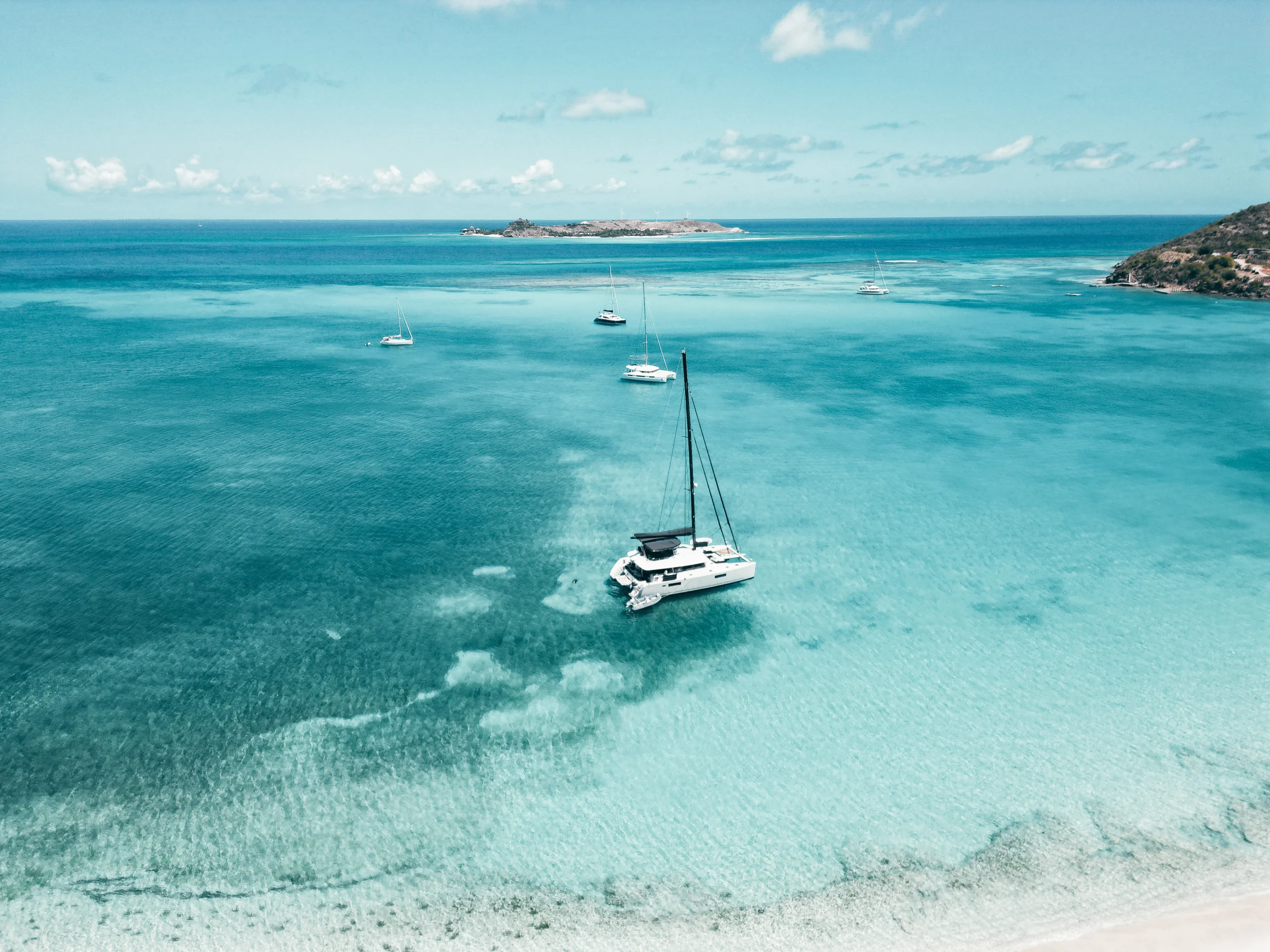
Water colour is the ocean’s most direct communication about what lies beneath the surface. Deep ocean is midnight blue or deep indigo: the colour of water with nothing beneath it but more water, thousands of metres down. As depth decreases over an approaching shelf or an atoll, the colour lightens through navy to royal blue to a medium blue-green. Over sand at five to eight metres, the water is pale turquoise. Over sand at two to three metres, it is almost white. Over coral, it goes dark brown to black, and that dark colour in otherwise turquoise water is the signal that stops the boat.
Reading this colour gradient accurately requires practice, polarised sunglasses, the right light angle, and the confidence to act on what you see rather than defaulting to the chart. In the Tuamotu atolls, where the charts are often wrong about specific coral formations, the colour of the water is more reliable than any electronic instrument aboard. After a few atoll entries read this way, the eye becomes faster and more confident at the distinctions that matter. The difference between two metres of sand and two metres of coral is visible from twenty metres away in good light once you know what to look for.
Surface Texture and Wind
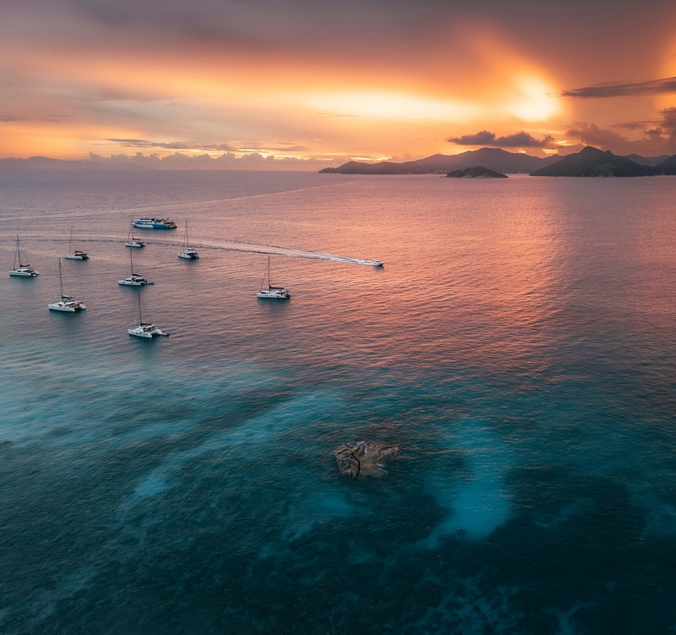
The surface of the water shows the wind before the wind arrives at the boat. The dark patches that move across otherwise flat water in the approach to a squall are wind, not shadow: the surface roughening under the increased pressure. These patches move at the speed of the wind that creates them, which is why an experienced eye can track their direction and estimate their arrival time from the flybridge. A squall that looks threatening from two miles away can be accurately assessed in terms of its strength and direction within a minute of observation. That assessment determines whether you reduce sail now or wait.
A glassy calm means no wind. But it also means something is about to change, because perfectly flat water on an ocean passage is the exception rather than the norm. The flat that precedes a frontal system has a different quality to the flat of a genuine light-wind day: the swell is still there, moving the boat in a slow roll despite the absence of wind, and the barometer is telling a different story to the immediate calm. Reading both simultaneously is the skill.
Birds, Fish, and What They Indicate
Seabirds feed where fish are. Fish concentrate where currents converge, where upwelling brings nutrients to the surface, and where baitfish are being driven up by larger predators below. A working flock of birds on the horizon indicates a current edge or an upwelling: the kind of location where a fishing line dropped in is more likely to produce something than open blue water. Sven steers toward working birds on passage when it does not significantly affect the course. The fish that come up from these locations are frequently the best of the entire crossing.
Frigatebirds in the tropics indicate proximity to land long before the land is visible. They are not seabirds in the sense of diving and swimming: they cannot land on water and they roost only on land. Seeing frigatebirds means there is land within their range, typically 30 to 80 miles. On a Pacific crossing approaching the Marquesas after three weeks of open ocean, the first frigatebird is a specific moment that people who have experienced it remember with the same clarity as the landfall itself.
Swell and Distant Weather
Swell travels enormous distances from its source. A storm in the Southern Ocean generates waves that arrive at the tropics days later as a long, smooth groundswell entirely disconnected from the local wind. When the swell direction does not match the wind direction, something has generated energy somewhere distant. Reading the direction and period of the swell, and comparing it to the prevailing wind and the synoptic weather chart, tells you something about the larger weather pattern that the local forecast does not always capture.
A change in swell period is often the first indication of a distant disturbance. The long, regular swell of a stable trade wind pattern has a different feel under the hull to the shorter, more confused swell of competing wave trains from different directions. This feel is primarily available to people who have spent enough time at sea to know the difference from the way the boat moves, rather than from an instrument reading. It is one of the things that accumulates imperceptibly over multiple passages until it is simply part of how the ocean feels.
| Observable signal | What it indicates | How it is used |
|---|---|---|
| Deep blue to indigo water | Deep ocean, no hazard below | Confirmation of open water on passage |
| Pale turquoise water | Sand at 5 to 8 metres | Anchor approach depth indicator |
| Dark patches in turquoise | Coral at or near surface | Stop or alter course immediately |
| Dark patches moving across flat water | Wind arriving before the squall | Sail reduction decision timing |
| Working seabirds on horizon | Current edge or upwelling, fish concentration | Fishing line deployment, course adjustment |
| Frigatebirds | Land within 30 to 80 miles | Landfall confirmation before visual contact |
| Cross swell from unexpected direction | Distant disturbance or weather system | Weather routing review, barometer check |