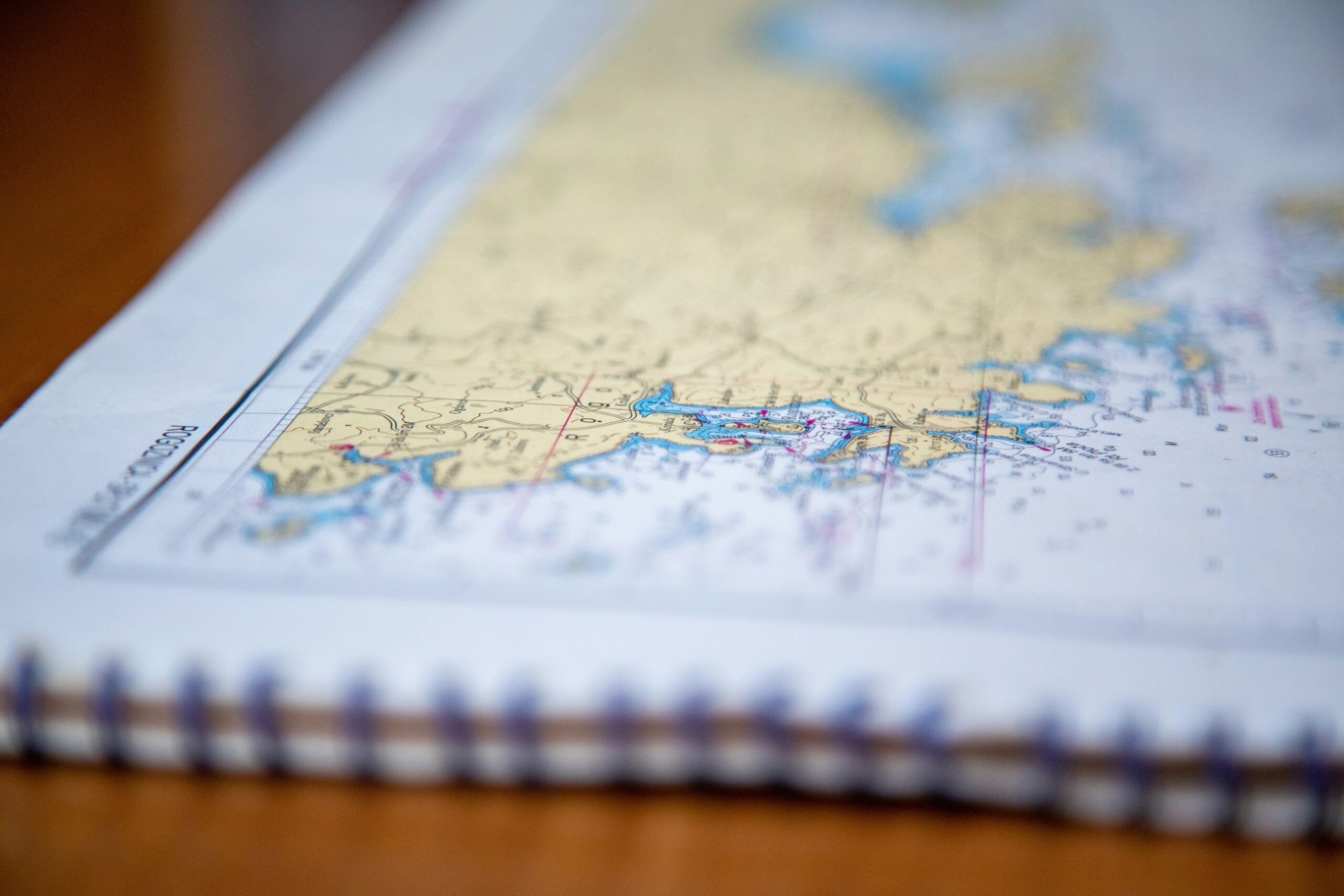
Navigation on a five-year circumnavigation is not a single skill. It is a layered practice that combines electronic systems, satellite data, local knowledge, and the kind of trained observation that only accumulates across decades of offshore sailing. On the Naora route, we use all of these layers together, and we are deliberate about which one we trust in which situation.
This article is about how we actually navigate. Not in the abstract sense of what tools exist, but in the practical sense of what we look at, in what order, and why the human eye remains the final arbiter regardless of what any screen says.
Layer One: GPS and Electronic Charts
GPS is the foundation of modern offshore navigation. It gives us our position to within a few metres, continuously, in any weather and at any time of day or night. Combined with electronic charts on professional-grade chart plotters, it allows us to plan passages, track progress against waypoints, monitor speed and course, and set anchor alarms that wake the watch if the boat drags in the night.
We use GPS for everything it is genuinely good at: knowing where we are, tracking where we have been, and planning where we are going on the open ocean passages where the only hazard between us and the next landfall is weather. On a trade wind crossing from the Canaries to the Caribbean, GPS and a chart plotter are the primary navigation tools and they are entirely adequate for the job.
But we are clear-eyed about their limitations. Electronic charts are based on hydrographic surveys, and those surveys vary enormously in age and accuracy depending on the region. The charts for the English Channel were surveyed last year. The charts for certain atolls in the Tuamotu Archipelago were surveyed in the 19th century, in some cases by ships whose sounding equipment consisted of a weighted line dropped over the side. The GPS tells us precisely where we are. It does not tell us what is there.
Layer Two: Satellite Imagery
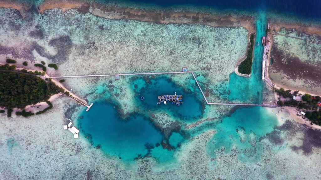
Before every atoll entry, every reef approach, and every anchorage we have not visited before, we download and study high-resolution satellite imagery of the specific area. This is not a backup to the chart. It is a separate intelligence layer that often tells us things the chart does not know.
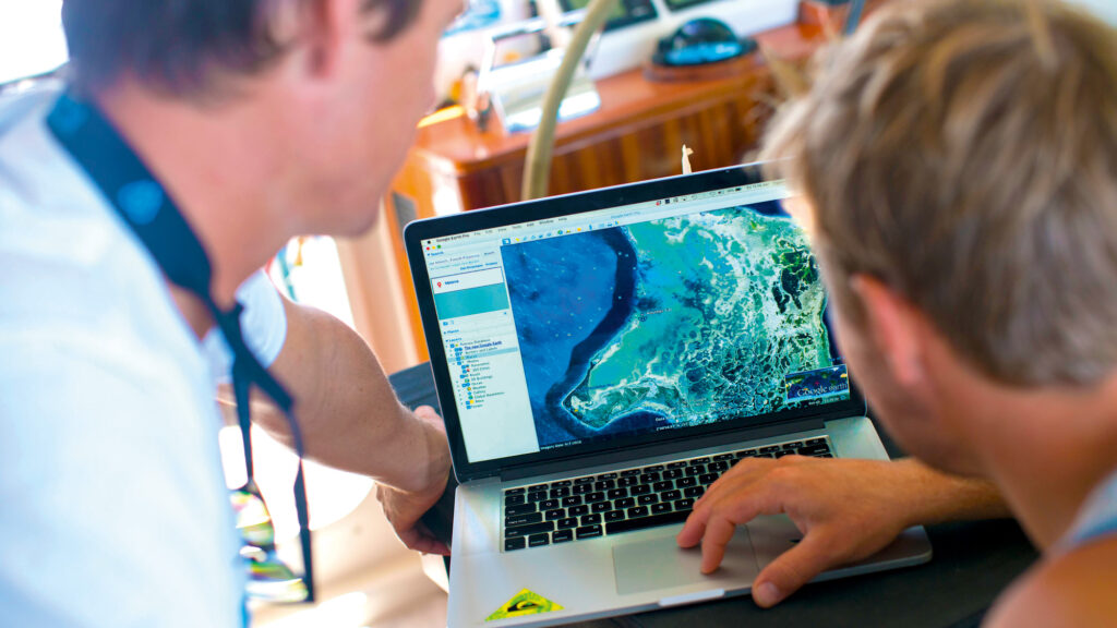
Satellite imagery shows us the actual current state of the reef: where coral growth has extended beyond the charted boundary, where sand channels exist that the chart does not show, where the water colour indicates depth changes that are not reflected in the official soundings. We load this imagery onto a dedicated laptop at the navigation station and reference it in real time during the approach, building a three-dimensional mental model of the pass that combines the chart’s geometry with the imagery’s visual intelligence.
We log the date of the imagery we use and note any discrepancies between what it shows and what the official chart depicts. In several cases on previous Tuamotu passages, this process has revealed reef structures that the chart did not show, and it has changed our approach angle accordingly. This is not unusual. The Tuamotu atolls are among the most hydrographically complex and least recently surveyed areas on the Naora route, and they are responsible for more shipwrecks than any other region we sail. Satellite imagery is not optional here. It is standard procedure.
Layer Three: The Human Eye
No technology replaces the trained human eye at the bow of a boat approaching a reef pass.
As we approach any atoll pass or reef entry, a dedicated crew member takes position at the bow with polarised sunglasses. Their sole responsibility is visual lookout: reading the water colour, identifying coral heads, tracking the edge of the sand channel, and communicating continuously with the helm. We plan all atoll entries for the period when the sun is high and behind us, typically between ten in the morning and two in the afternoon, because this lighting condition maximises the contrast between deep water, shallow sand, and coral. Dark blue means depth. Pale turquoise means sand and shallowing. Dark brown to black means coral, and coral means stop.
The bow lookout communicates by voice or hand signal to the helm. The engine runs regardless of wind conditions on all reef approaches. Speed is reduced to bare steerage. The skipper works simultaneously with the chart plotter, the satellite imagery on the navigation laptop, and the continuous verbal reports from the bow. Three independent information sources, all saying the same thing before we proceed.
This three-layer protocol is not something we apply to particularly dangerous situations. It is how we approach every atoll entry on the route, regardless of how well-charted the pass appears to be. The cost of the protocol is twenty minutes of careful attention. The cost of not applying it can be the vessel.
Offshore Navigation: When the Ocean Is Simply Open Water
On the long ocean crossings that form the backbone of the Naora circumnavigation, navigation is simpler in character and more demanding in duration. There are no reefs to dodge, no passes to time, no satellite imagery to study. There is a departure point, an arrival point, and thousands of miles of open water between them.
The primary navigation tools on these passages are the GPS, the electronic chart, the weather routing system, and the AIS receiver that tracks other vessels in the area. We maintain a written deck log every hour throughout every passage, recording position, course, speed, wind speed and direction, barometric pressure, and any notable observations. This log is both a safety record and a navigational resource: pressure trends read over eight hours tell you things about the approaching weather that a single reading cannot.
We also navigate by celestial observation when conditions allow: sun sights at noon, star sights at twilight, the traditional practice of confirming GPS-derived position by independent means. This is not romanticism. On a vessel crossing oceans, the ability to navigate without electronics is a genuine safety capability, and maintaining it requires practice. It also produces a specific quality of connection to the passage: knowing where you are because you measured the angle of the sun, not because a satellite told you, is a different kind of knowing.
| Situation | Primary navigation method | Backup and verification |
|---|---|---|
| Open ocean passage | GPS and electronic charts, weather routing | Celestial navigation, written deck log every hour |
| Coastal approach | GPS, electronic charts, radar | Visual bearings, depth sounder, written log |
| Atoll or reef entry | Satellite imagery on nav laptop, GPS | Bow lookout with polarised glasses, engine running, reduced speed |
| Night passage | GPS, AIS for vessel traffic, radar | Visual watch from flybridge, written log, celestial when visible |
| Anchorage selection | Satellite imagery, electronic chart depth data | Depth sounder during approach, visual read of bottom colour |
What Members Experience
For members who are curious about the navigation side of the voyage, the Eighty2’s navigation station is open. The crew is genuinely good at explaining what he is looking at and why, and the deck log, the chart plotter, the weather routing software, and the satellite imagery on the laptop are all visible and discussable without any special invitation. Some members become genuinely absorbed in the passage planning process. Others prefer to know that it is being handled well and get on with their day. Both are entirely fine.
What most members notice, eventually, is that good navigation is largely invisible. The boat arrives where it was going to arrive. The anchorage is reached in the right conditions. The atoll entry is smooth and the colour of the water is exactly what was described in the briefing. The complexity that produced that smoothness is happening at the navigation station and on the bow, and it is entirely for the benefit of everyone aboard.