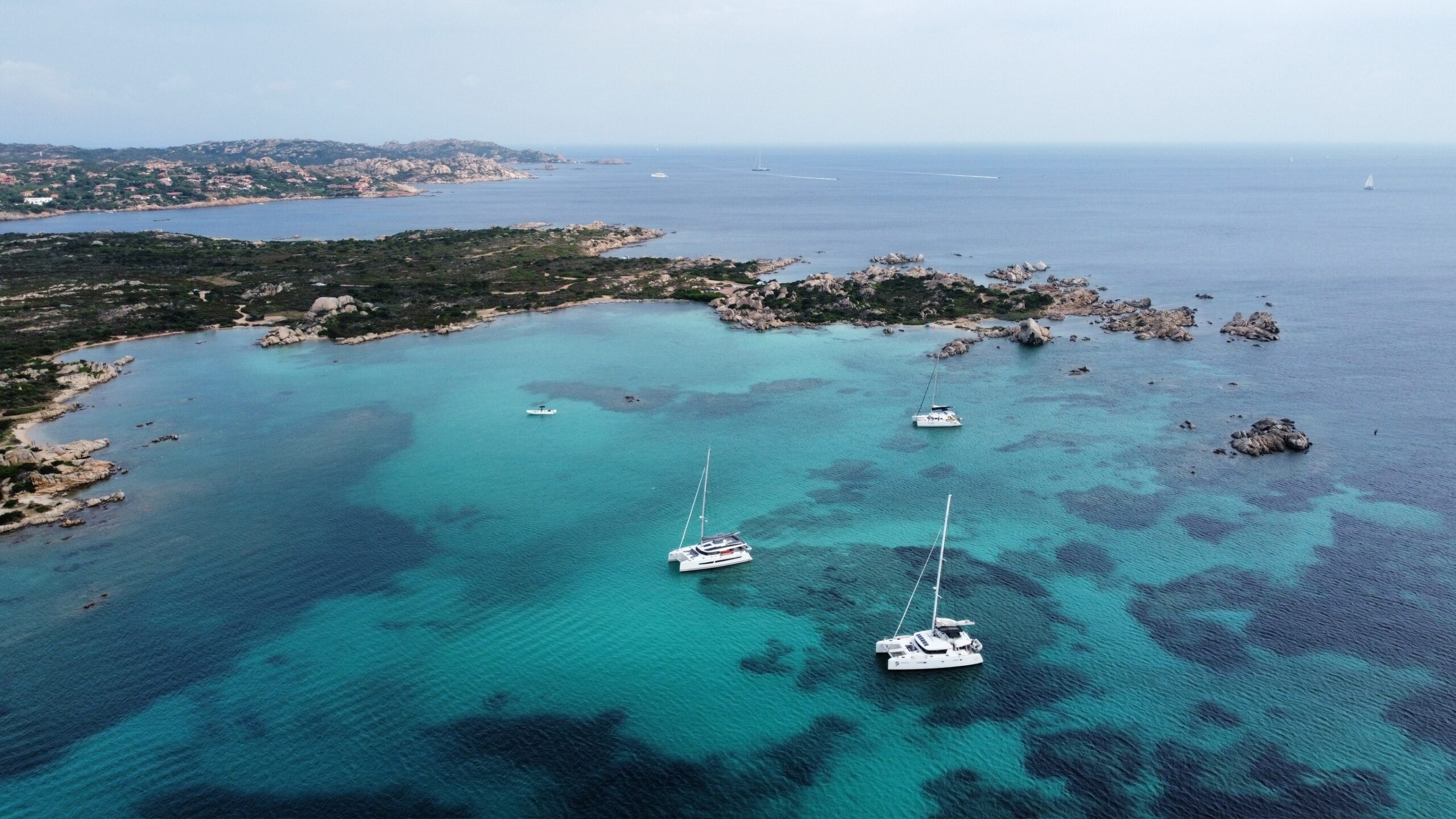
The anchorage decision is made multiple times every day on the Naora route and it is the decision that most directly determines the quality of the experience. The passage gets the boat from one region to another. The anchorage is where the boat lives: where the diving happens, where the meal is set, where the night is spent, where the place is understood or merely visited depending on whether the anchorage was chosen well.
I want to describe how this decision actually gets made, because the quality of Naora anchorages is not accidental and it is not luck. It is the product of a specific process applied consistently across 25 years of offshore sailing in the regions the route covers, and understanding the process illuminates why the anchorages are what they are.
The Sources
The anchorage decision draws on four sources, in order of how much weight each carries in the final call.
First: personal experience. The anchorages I have been in before are known quantities. I know how the wind works in the Gokova Gulf at different times of day and what the holding is like in the bays I have used there across multiple seasons. I know which Croatian anchorages are exposed to the Bora and which are not. I know which Tuamotu lagoons have the sand bottom necessary for a safe anchor and which have coral outcroppings that the chart does not show but that the satellite imagery reveals clearly. This knowledge is the most valuable input in the decision and the hardest to replicate from any other source.
Second: local knowledge. The harbour master, the other sailing boats in the anchorage, the fisherman who has been working this coast for twenty years and who knows the specific bay around the headland that the pilot book mentions and that nobody visits because there is no obvious reason to visit until the fisherman says: the holding there is perfect and it is completely sheltered from the northwest. Local knowledge consistently produces information that no published source contains, and the willingness to seek it out, specifically and directly, is one of the more important skills of offshore cruising.
Third: satellite imagery. Before every anchorage I have not personally visited, I study the satellite imagery of the specific area: the bottom type, the depth gradients visible in the water colour, the swing radius available, the hazards that the chart may not show. This is the process that replaces the historical practice of arriving at an unknown anchorage on faith and learning from experience whether it was the right choice. Satellite imagery makes the unknown anchorage partially known before arrival, and the specific knowledge it provides, combined with the bow lookout approach, produces safe anchorages in places the chart alone would not justify entering.
Fourth: the pilot book and the chart. These are the most available sources and the ones most sailors rely on most heavily. I use them as confirmation and context rather than as primary decision inputs, because a pilot book entry from ten years ago and a chart surveyed before GPS existed are less reliable than a satellite image from last month and the local fisherman’s current knowledge.
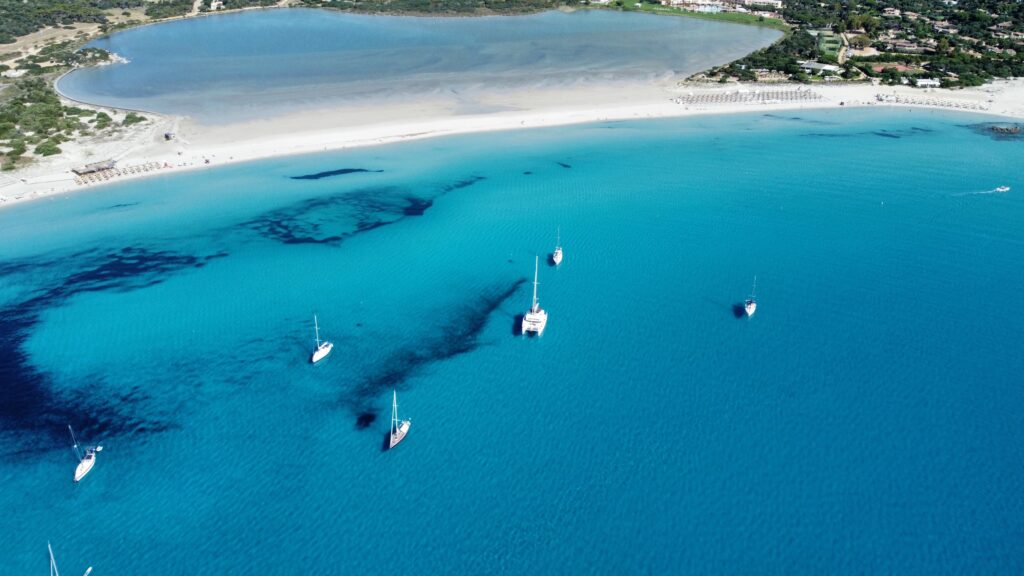
The Wind and the Swing
The anchorage that is perfect in the afternoon may not be the anchorage that is perfect through the night. The afternoon sea breeze that fills the bay and produces a pleasant cooling effect on the afterdeck is the same wind that has been building the swell that arrives as the bay’s exposure at that angle, and at three in the morning when the land breeze reverses the wind direction, the anchor that was set for the afternoon’s south to north flow is now being tested from the north to south instead.
The overnight wind forecast is the most important weather input in the anchorage decision. Not the current wind, which is visible and manageable, but the forecast wind at midnight and at 0400 and at 0800: the wind that will test the anchor at the times when the watch crew is tired and the ability to re-anchor in the dark is the most demanding option available. I choose anchorages that are sheltered from the forecast overnight wind rather than the current wind, which sometimes means choosing a bay that looks less attractive in the afternoon but that will be the right choice when the conditions that actually matter arrive.
The swing radius is assessed for the expected overnight wind angle and strength, the scope we plan to use, and the location of any hazards within the full circle the boat could describe. A bay that has a perfect anchor position for the current conditions but that places the boat within its own chain length of a shallow shelf if the wind backs forty-five degrees overnight is not the right bay. The right bay is the one where the anchor position, in the forecast conditions, keeps the boat in safe water through all the positions the overnight wind might push it to.
The Anchorage That Wins
The anchorage that wins the decision process is almost never the most dramatic or the most famous. It is the one that combines adequate shelter with good holding with sufficient isolation from other boats with the specific quality of the light and the access to the activities that the day’s plan requires. This combination is more often found in the bay around the headland than in the bay in the pilot book, and more often found on a Tuesday in May than on a Saturday in August.
The Naora anchorages are what they are because the decision process prioritises what the anchorage actually needs to be, in the conditions it will actually face, for the members who will actually be in it, over the selection criteria that most visiting boats apply: visibility on a chart, a name in a pilot book, the fact that other boats are already there. We choose the anchorage. We do not follow the fleet.