The GPS has not failed on a Naora passage. I say this clearly and without the following qualification that it could never fail, because the qualification is precisely the point: it could fail, at any time, for reasons that range from equipment malfunction to solar weather event to the specific and unpredictable failure modes of complex electronic systems on a boat in a marine environment. The question is not whether it will fail but whether the person navigating the boat has maintained the skills and the equipment to continue safely if it does.
I carry a sextant, paper charts, a nautical almanac, and sight reduction tables. Not as historical artifacts or as demonstration equipment. As navigation tools that are maintained in working order and that I use regularly enough to perform celestial navigation competently when the conditions call for it. This article describes what happens aboard the Eighty2 if the electronics fail, and how the backup navigates.
Dead Reckoning: The First Response
Dead reckoning is the process of estimating current position from a known previous position, using course steered, speed through the water, and elapsed time. If the GPS fails on a passage, the first action is to record the last known GPS position, the time at which it was recorded, and the course and speed since that time. The dead reckoning position is calculated from these inputs and plotted on the paper chart.
The calculation accumulates error over time as current and leeway introduce deviations between the steered course and the course made good, but for the first hours after a GPS failure it provides an adequate working position.
The paper chart and the parallel rulers and the dividers that are always in the navigation station chart table are not there for decoration. They are the tools that dead reckoning requires, and the navigator who has not used them recently will find the process slower and less confident than it needs to be at the moment of needing it. I use paper chart plotting on every significant passage, not as a primary navigation method but as a parallel check on the electronic systems and as a skill maintenance practice.
The Sextant Fix
If dead reckoning error has accumulated to an unacceptable level and no electronic fix is available, the sextant provides the celestial position fix that replaces the GPS. A noon sight of the sun gives latitude directly and a morning or evening star sight gives both latitude and longitude simultaneously. The calculation from the sextant observation to the plotted position requires the almanac and the sight reduction tables and takes approximately fifteen minutes for a practiced navigator.
The accuracy achievable with a well-maintained sextant and a practiced navigator is approximately one to two nautical miles, which is adequate for ocean passage navigation but not for close-quarters coastal navigation. For the Naora route, this means that celestial navigation is a reliable backup for the open-ocean sections of the route but that a GPS failure close to a coast requires the additional navigation inputs of visual bearings, depth sounder soundings, and the identification of specific charted features to maintain safe navigation.
The Magnetic Compass
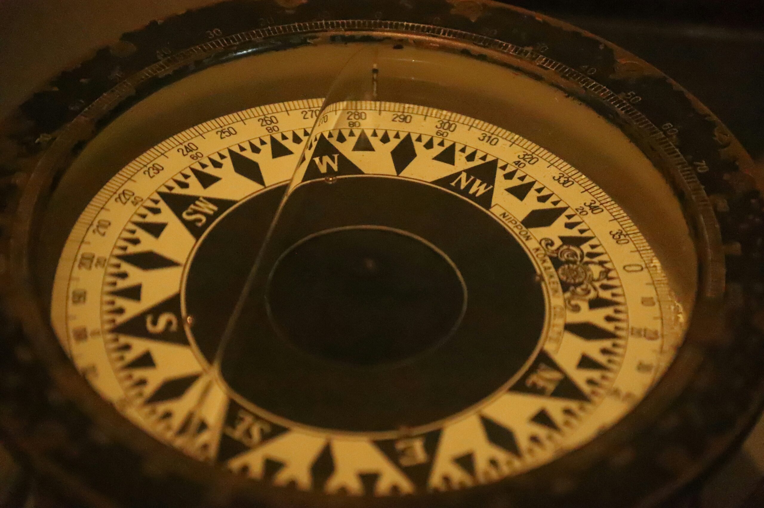
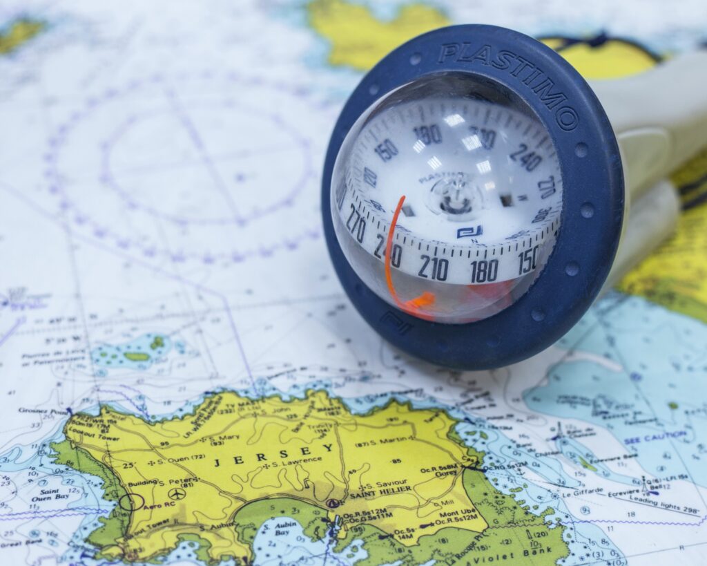
The magnetic compass is the navigation instrument that requires no power source and no satellite signal and no electronic system of any kind. It points to magnetic north as long as it is within a reasonable distance of the earth’s magnetic field and away from large ferrous masses, which on the open ocean it always is. The compass course, maintained accurately with the hand bearing compass as a check on the steering compass, combined with the boat’s log for speed and the elapsed time, is the fundamental input to dead reckoning navigation.
The hand bearing compass, a small self-contained compass that can be taken to any position on the deck, provides the visual bearing from a charted object that fixes the boat’s position when land is visible. The bearing of a lighthouse or a headland or a peak of known elevation, combined with the depth sounder reading at the same moment and the dead reckoning position, narrows the position uncertainty to an area rather than a point. Navigation by these means is slower and less precise than GPS navigation. It is entirely adequate for keeping a boat safe and making progress toward its destination.