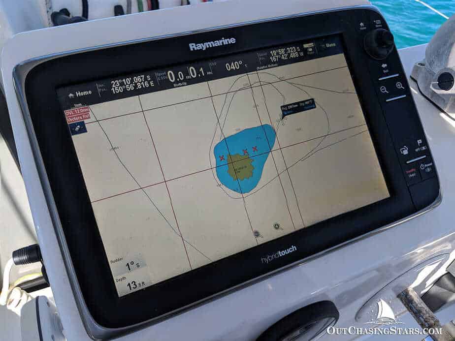
Twenty-five years ago the offshore navigator worked with paper charts, a sextant, a barograph, and the specific skills that the integration of those tools into a position fix required. The paper chart is still on the Eighty2, as the legal backup to the electronic systems and as the document that the harbour authority sometimes requires to see. But the primary navigation happens on the chartplotter screen that shows the crew everything they need to manage the passage at a single glance.
Not because the technology replaced the skill, but because the technology freed the skill from the repetitive and concentrated it on the judgment.
The chartplotter is a large touchscreen at the navigation station and a second screen at the helm outside. Both show the same information: the electronic chart as the background, the boat’s GPS position as the icon moving across it in real time, the track line showing where the boat has been and the route line showing where it is going.
The chart data comes from the major chart suppliers and from the crowd-sourced depth data that the offshore sailing community contributes, the thousands of boats that have sailed through the same waters before and whose depth sounder logs have been compiled into the chart database. In the outer Tuamotu and the Indonesian archipelago, where the official hydrographic surveys are old and sometimes inaccurate, this crowd-sourced data is often the most reliable picture of what is actually there.

AIS: The System That Makes the Night Watch Safer
The most significant safety improvement the chartplotter delivers over the paper chart era is the AIS integration. AIS stands for Automatic Identification System, the radio transponder that every commercial vessel and most larger yachts broadcast continuously, transmitting the vessel’s identity, position, speed, and course to every AIS receiver within VHF radio range. The chartplotter receives all of these transmissions and displays the other vessels as moving icons on the chart, each with their course and speed visible as a line extending ahead of them in the direction they are going.
More useful than the icons is the calculation the chartplotter performs on them: for every AIS target in the area, the system calculates the CPA (closest point of approach) and the TCPA (time to closest point) of approach. These two numbers tell the watch crew member whether the vessel they are looking at is going to come close to the Eighty2 and if so, how close and how soon.
The freighter that will pass six miles away in forty minutes is not a concern. The cargo ship that will pass 0.3 miles ahead in twelve minutes requires attention and possibly a course change. The chartplotter identifies the second vessel from among the fifteen AIS targets on the screen and flags it before the visual watch sees a light on the horizon.
The night watch in the pre-AIS era managed collision risk by radar and by eyesight and by the rules of the road that every qualified sailor knows. These tools still apply and are still used. AIS adds the layer of information that radar and eyesight cannot provide: the identity of the vessel, its course and speed calculated precisely rather than estimated, and the CPA computed rather than guessed at.
The Atlantic crossing at night with twelve AIS targets within twenty miles is a night watch that the chartplotter makes comprehensible. The same crossing without AIS was the watch that required the full and constant attention of the person at the helm. The chartplotter does not replace that attention. It directs it to the things that deserve it.