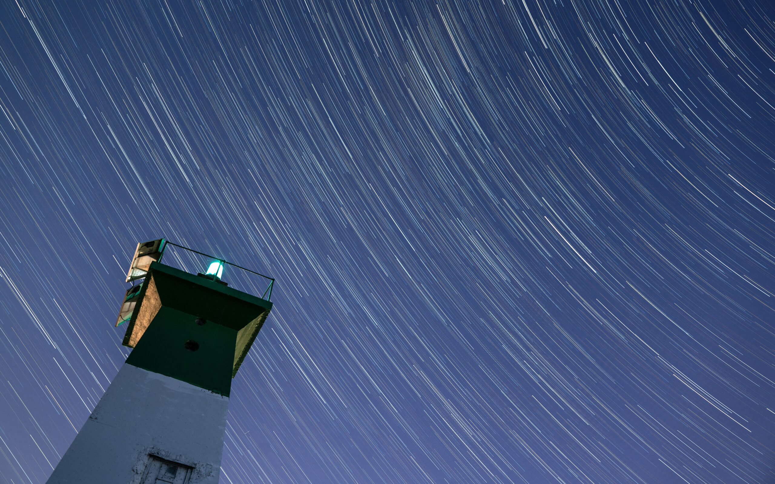
The greatest feat of navigation in human history was not performed by the Portuguese explorers of the fifteenth century, whose instruments and charts and accumulated cartographic knowledge made their ocean crossings extraordinary but not structurally different from the navigation that preceded them.
It was performed by the Polynesian voyagers who, beginning approximately three thousand years ago and continuing for two millennia, crossed the Pacific Ocean in both directions using star navigation, wave patterns, bird behaviour, ocean swell, and the specific knowledge of the sky and sea that was held in the human memory rather than in any instrument or chart.
The Polynesian navigators found Hawaii from the Marquesas, which is a voyage of approximately four thousand kilometres of open ocean with no intermediate land. They found New Zealand from the Cook Islands. They found Easter Island, the most remote inhabited island on earth, from somewhere in central Polynesia. They did all of this without a compass, without a sextant, without GPS, and in most cases without any form of written record of the route.
The knowledge was in the navigator’s body: the specific star risings and settings that mark the latitude of each destination, the specific swell direction that indicates the location of an island beyond the horizon, the specific cloud formations that form above an atoll in the trade wind that are visible from fifty kilometres away to someone who knows what they are looking at.
The Conversation
The conversation with the elder who holds this knowledge happened on Rarotonga, in the Cook Islands, on the evening before the our boat’s departure for Tonga. He is one of the small number of people in the Pacific who have received the traditional navigation knowledge from the generation before them: not as an academic subject, not as a cultural heritage project, but as the actual navigational tradition passed from teacher to student in the form that it was always passed, which is the form of demonstration and practice rather than explanation and memorisation.
He drew no maps. He pointed at the sky and named what he pointed at: not the scientific names, not the names that appear in the navigation manuals, but the Polynesian names that describe the stars in terms of what they do rather than what they are called. The star that rises above the horizon at the exact bearing of Hawaii from the position we were in.
The star that sets in the direction of the Marquesas two hours after sunset at this time of year. The specific star path that the traditional navigator uses to hold a constant latitude through a night passage, checking the star’s position relative to the horizon at its rising and at its setting and correcting the heading to maintain the consistency between the two.
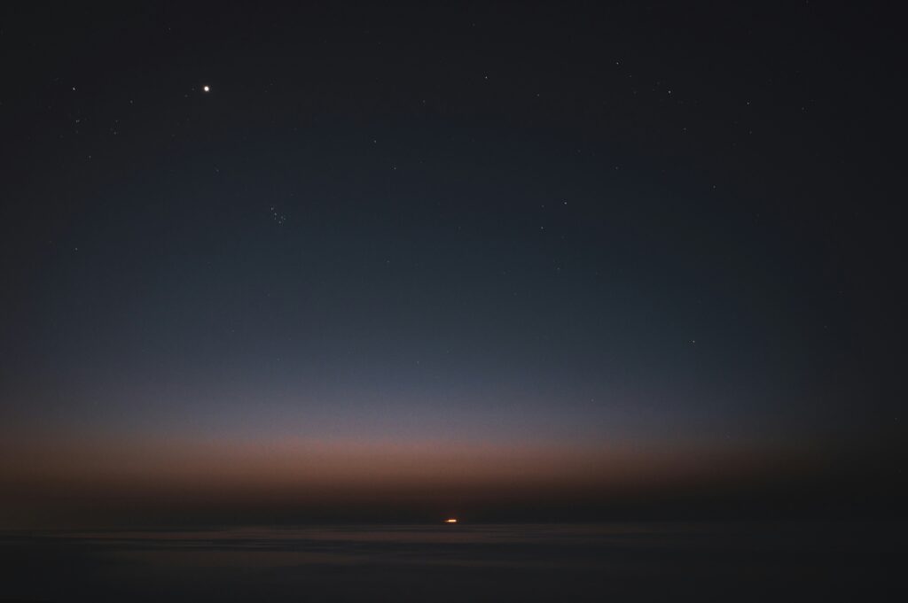
What Changed in How I Look at the Sky
I have been navigating by celestial observation. I know how to take a noon sight and reduce it to a latitude fix. I know the mathematics of the sight reduction tables and the nautical almanac. The conversation with the elder was the first time that I understood what celestial navigation actually is rather than what the mathematics of it describes.
The Polynesian navigator does not calculate a position from an observation. They maintain a relationship with the sky that tells them continuously where they are, not as a fix at noon but as a constant orientation to the stellar patterns that are the map. The sky is not a reference source consulted when the position is uncertain. It is the continuous environment in which the passage happens, as present and as readable as the water surface and the swell direction and the bird species overhead.
The navigation is not separate from the sailing. The navigation is the sailing, and the sailing is the navigation, and the sky is the medium through which both happen simultaneously.
The GPS is still running on the Eighty2. The chart plotter still shows the position updated every second. The sextant is still in the nav station as the backup. But the night watches in the Pacific after Rarotonga were different from the night watches before it: the same sky, the same stars, but now carrying the additional meaning of the elder’s demonstration alongside their scientific coordinates.
The sky that the Polynesian navigators crossed three thousand years of open ocean by is the same sky that is above the Eighty2 on the passage from the Cook Islands to Tonga. The stars have not moved. What moved was the understanding of what they contain.