The chart tells you the depth was surveyed at a specific point at a specific time by a specific method. The water tells you what the depth is now, at the position the bow is crossing, with the resolution of what you can see rather than what was measured years or decades ago. In the waters where the Naora route spends its most careful navigation, the water is often more reliable than the chart.
This is the skill of reading water colour, and it is one of the most valuable navigation tools available to the offshore sailor in the coral areas of the route. It requires practice and the right light conditions and polarised glasses, and it does not replace the chart or the depth sounder or the satellite imagery studied before arrival. But it provides real-time information that none of those sources can provide, and the sailor who has learned to read it makes anchorage approaches in coral areas that the sailor without it cannot safely make.
The Colour Spectrum
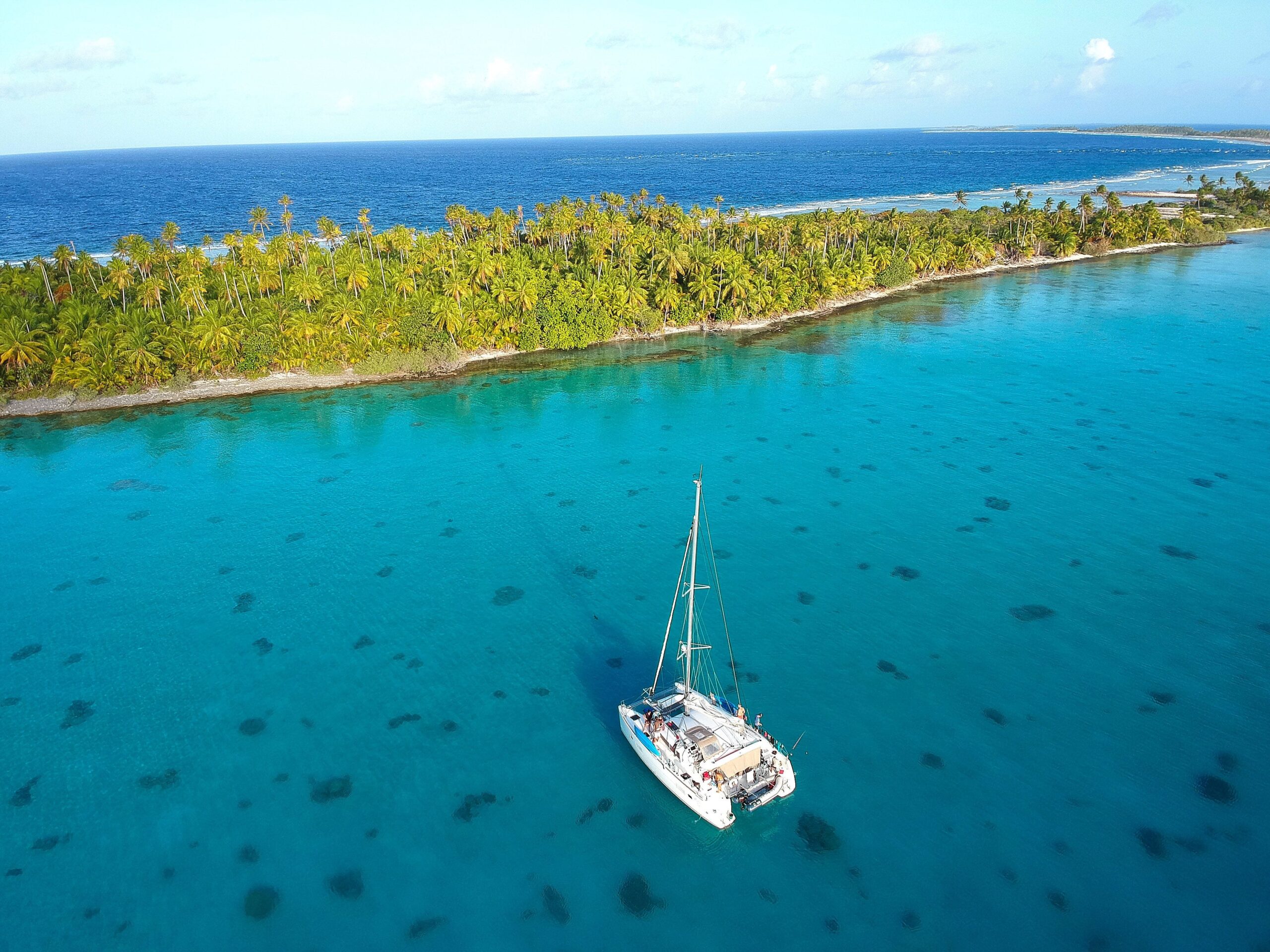
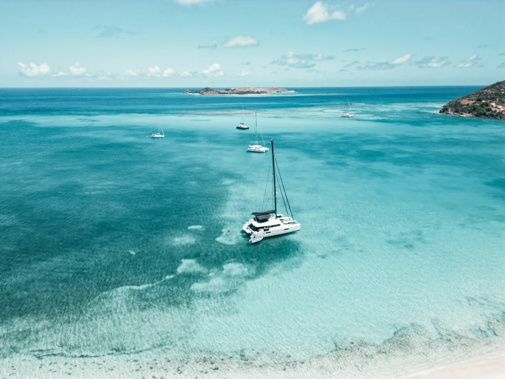
The colour of water over a clear sandy bottom in the tropics is a function of depth: the deeper the water, the darker and bluer the colour; the shallower the water, the lighter and more turquoise the colour. This relationship is direct and consistent in clear tropical water with a sand or light coral rubble bottom, and once you have observed it enough times in conditions where you also know the depth from the sounder, it becomes a reliable depth indicator that the eye reads faster than the instrument.
Deep blue: more than twenty metres over sand. This is safe water for a vessel of the Eighty2’s draught in all normal conditions. Dark green-blue: ten to twenty metres. Still safe but the sounder becomes the primary reference rather than the visual. Light green: five to ten metres. Careful navigation, sounder and visual working together, bow lookout actively reading the water ahead. Turquoise: two to five metres. Reduced speed, the bow lookout is the primary navigation source, the helm is responding to the visual information in near real time. White or pale turquoise: less than two metres. Stop.
The chart of a Tuamotu atoll shows the surveyed depths but does not show the specific location of the coral heads that rise from the sandy bottom like underwater columns, sometimes to within a metre of the surface in water that is otherwise four or five metres deep. These coral heads are visible from the bow in good light as dark patches in the turquoise water, and the bow lookout directs the helm around them in a process that feels improvisational but is actually methodical: the lookout calls left or right or straight ahead based on what they see, the helm responds, the boat threads between the hazards that the chart does not show.
The Light and the Glasses
The conditions required for water colour navigation are specific and not always available. The sun must be above about thirty degrees from the horizon and behind or to the side of the navigator: looking into the sun on a low sun angle produces glare that makes the water unreadable. The sky must be reasonably clear: heavy overcast removes the colour differentiation by removing the direct sunlight that penetrates the water and reflects from the bottom. And the navigator must be wearing polarised glasses, without which the surface glare reduces the visibility into the water significantly regardless of sun angle and sky conditions.
The ideal conditions for water colour navigation are: sun high in the sky and behind the boat, clear sky, calm or light wind that is not producing a chop that fragments the surface, and polarised glasses on the bow lookout. In these conditions, the visual depth information available from a good position on the bow of a catamaran is extraordinary: I have navigated through coral areas in the Tuamotu with a degree of confidence and precision that would have been impossible from a monohull’s lower vantage point, because the height of the Eighty2’s trampoline provides a sight line that allows the lookout to see further ahead and deeper into the water than a lower platform allows.
When the conditions are not ideal, the chart and the depth sounder and the satellite imagery studied before arrival become the primary navigation tools, and the water colour is a supplementary confirmation rather than the primary source. The most dangerous thing a sailor can do with this skill is apply it in conditions where it does not work reliably and trust the result with the confidence they have developed in the conditions where it does.